

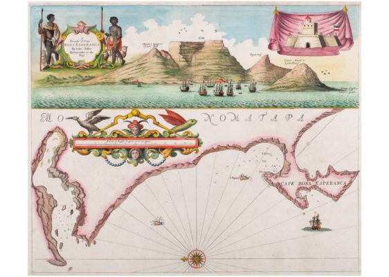
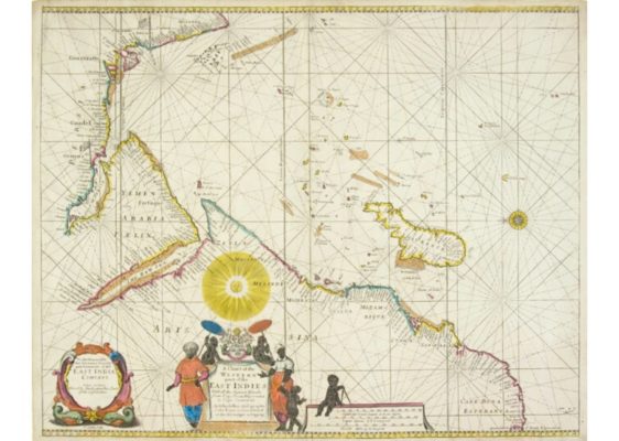
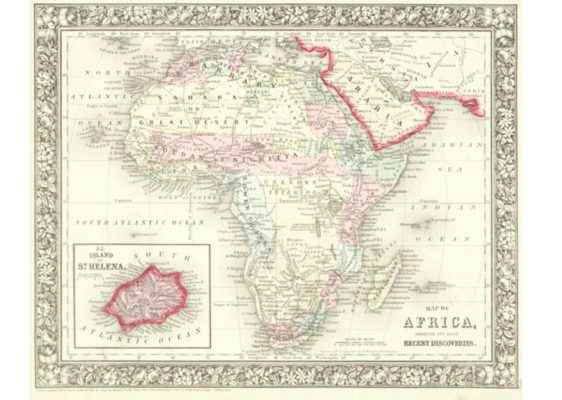
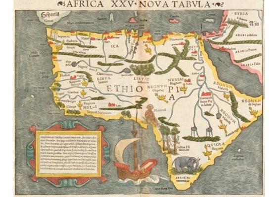
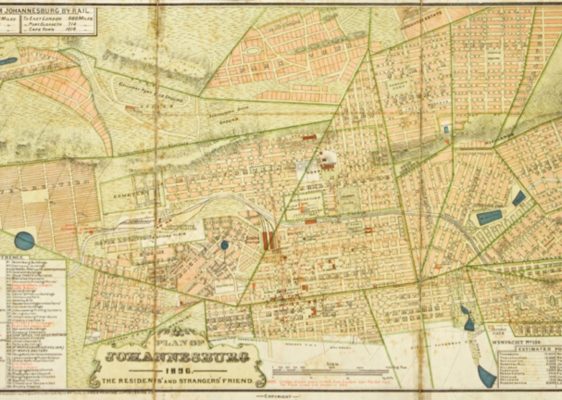
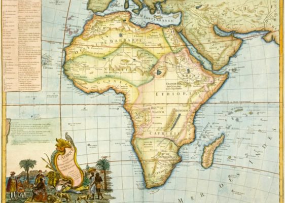
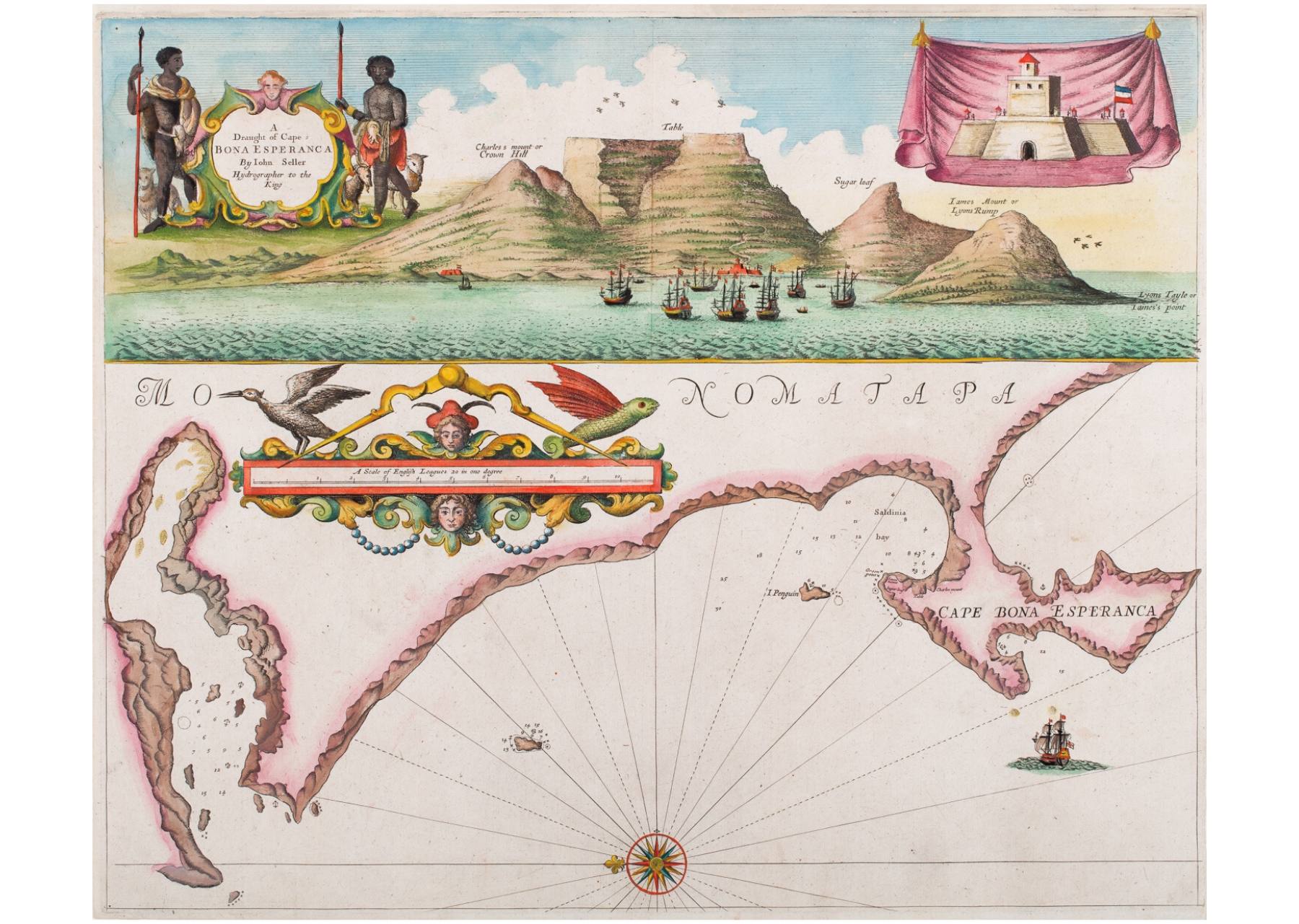
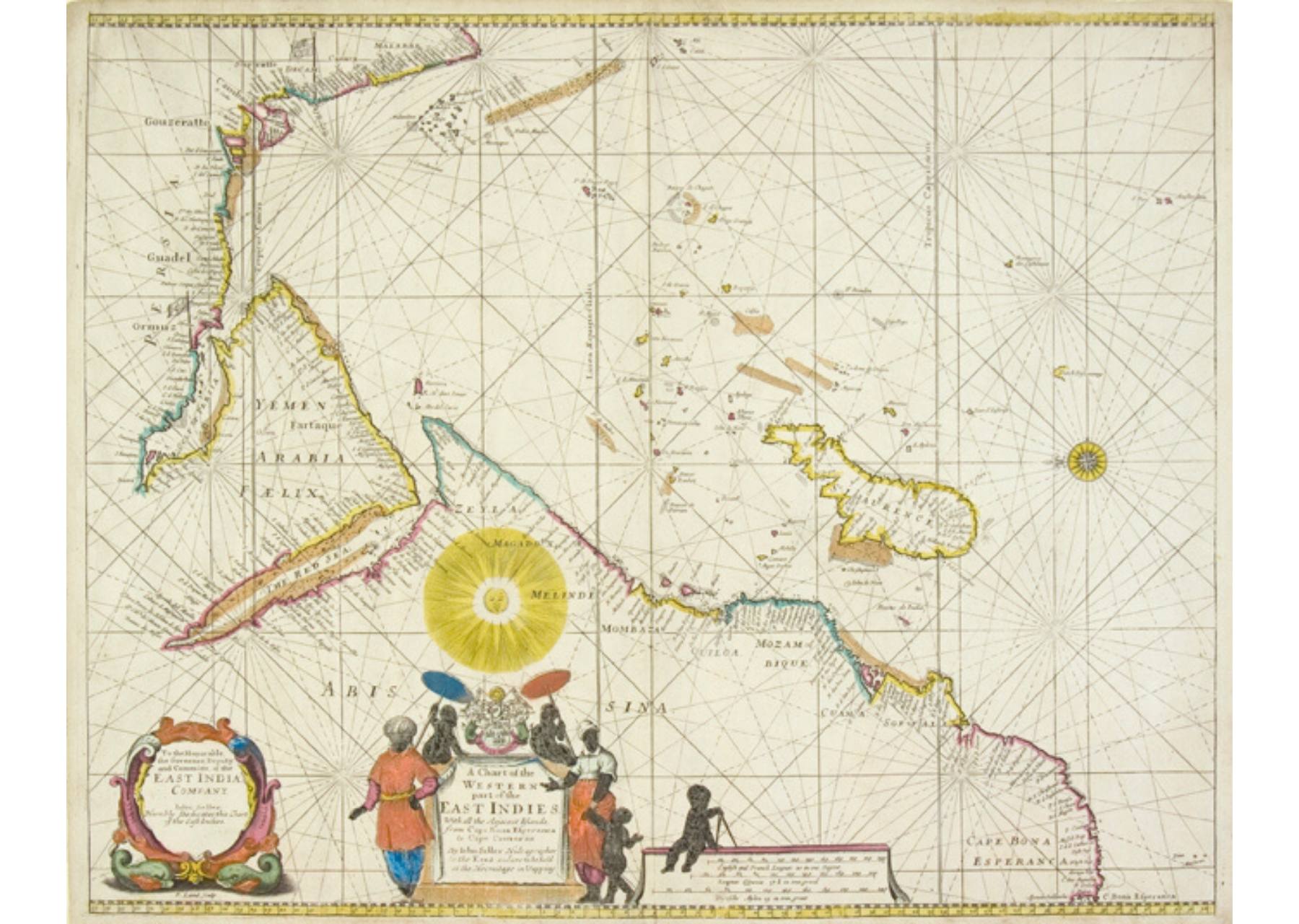
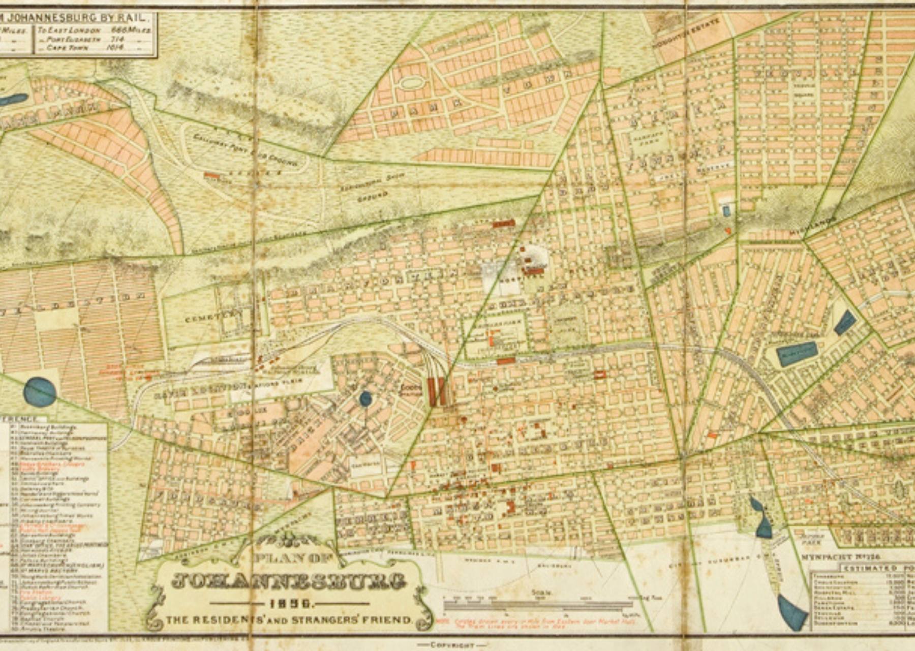
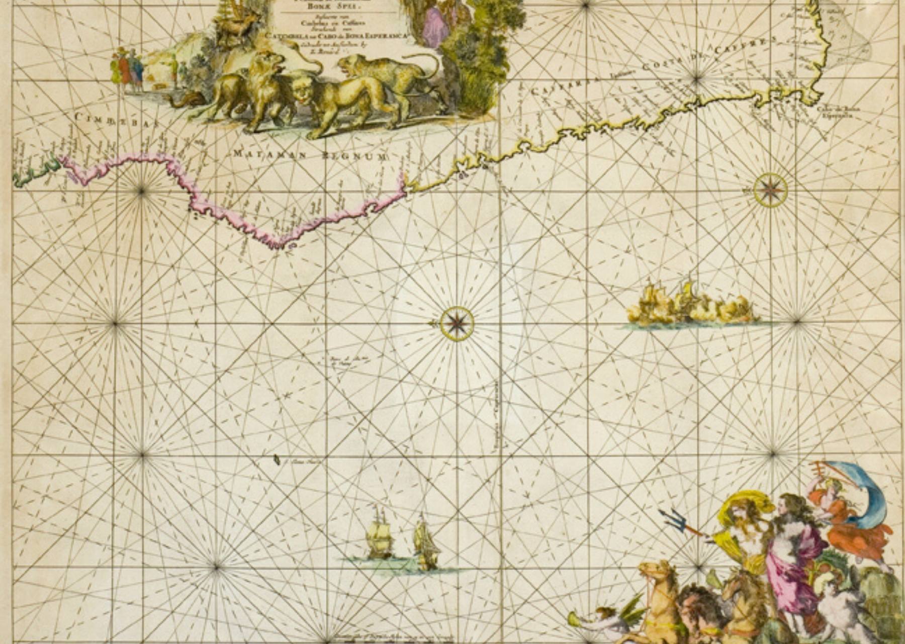
The collection includes both manuscript maps and decorative engraved maps, and nautical charts relating to Africa, southern Africa and South Africa. They provide a fascinating insight into the cartography of the African continent and into travel, exploration and the growth of geographic knowledge in this period.
Many of the printed maps are hand-coloured and produced in the first half of the 17th century, a period often considered the pinnacle of decorative map-making. Highlights of the collection are a 1507 woodcut map of Africa, the earliest known printed map devoted to the representation of the African continent and a manuscript map drawn on silk, relating to David Livingstone.






Apply to do research
The library is open to academic researchers.
Please complete the form below to send a research enquiry or to apply to do research in the library.